

|
Ad Hoc is the software that simplifies the use of data coming from laser scanner and photogrammetric surveys.
|
|
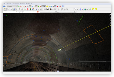
Ad Hoc offers powerful and easy to use tools to quickly get a wide range of information; for instance measuring 3D distances, angles, planes, volumes, etc. is straightforward. Sections can be extracted from 3D models and drawing tools are available. All derived items can be exported in common vector formats.

|
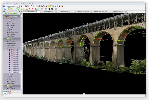
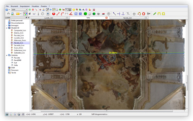
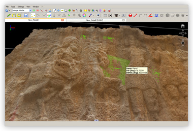
Distances measureWith two clicks you can get the distance between two points. In addition to the classical minimum distance between points, is possible to calculate the distance projected onto the surface of the object. |
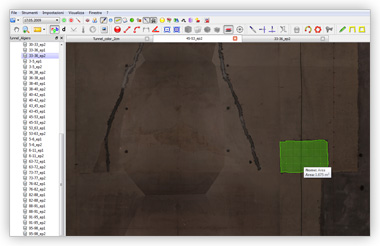
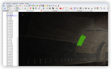
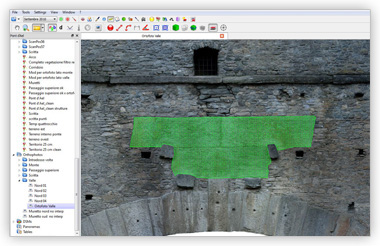
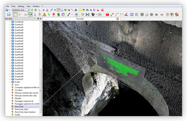
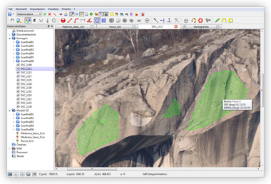
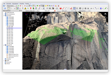
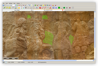
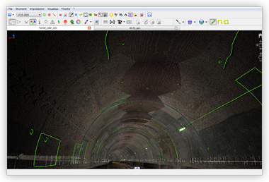
Areas measureYou select an area and measure it. Very easy. |
|
|
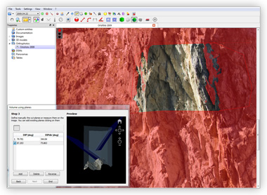
Planes measureYou select an area and automatically the mean plane is estimated. The plane may be expressed in dip dipdirection, according to the use of geologists. |
Volumes measureYou can calculate the volumes with a simple procedure. |
|
|
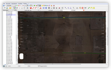
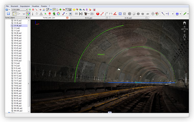
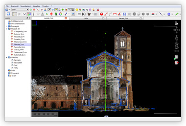
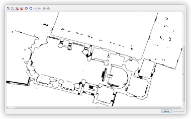
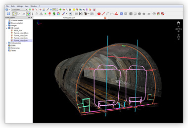
SectionsThe Sections plug-in allows you to slice the 3D model at the moment. You can create vertical and horizontal sections, or imposing a customized section plane. It's possible to export the sections in 2D or 3D vector format. |
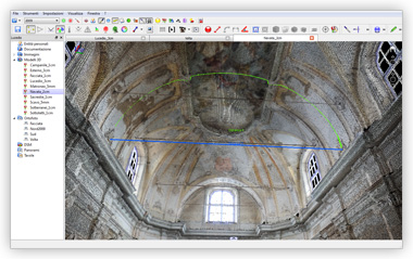
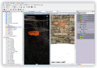
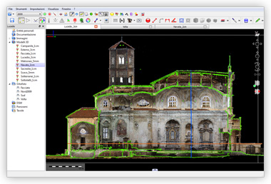
3D drawing toolsAd Hoc provides the classic drawing tools: pencil, polygon, polyline. In this way you can trace and return parts and items of interest. Your design will be automatically in 3D, viewed through the 3D model and exportable as a 3D vector file. |
|
|
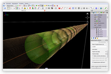
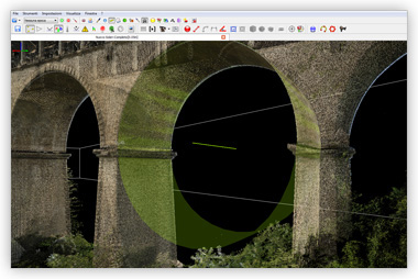
Estimation of geometric shapesThe special Shapes plug-in helps you to estimate circles, spheres, cylinders and cones from the laser scanner 3D survey data. |
|
Copyright 2011 Ad Hoc 3D Solutions s.r.l. All rights reserved. | Privacy | Cookie policy
Ad Hoc 3D Solutions s.r.l. C.F. P.I.: 01134080074 |
|