

|
Ad Hoc is the software that simplifies the use of data coming from laser scanner and photogrammetric surveys.
|
|
With Ad Hoc you can benefit of laser scanner surveys data quickly and easily. We provide different data types (solid images, 3D models, orthophotos ...) on which you can use several measuring tool to get everything you need. The data have already been treated with different cleaning algorithms to ensure maximum quality and usability.

|
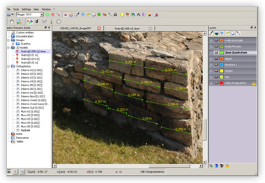
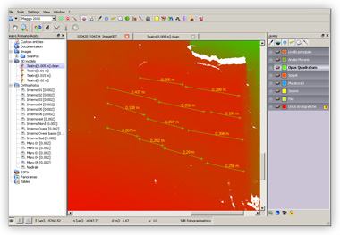
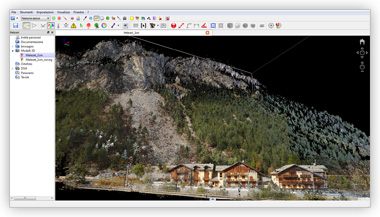
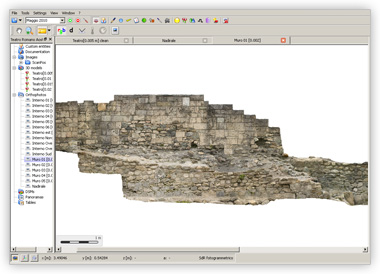
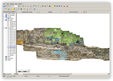
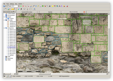
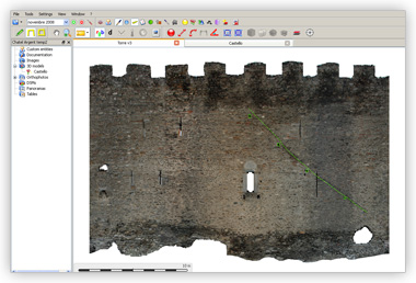
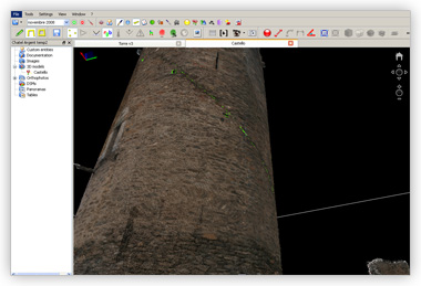
Solid imageMeasure a distance has never been easier! With 2 clicks you can measure the distance between two points on a photograph. In fact the image solid is a simple photograph, but on which you can use advanced measurement and 3D drawing tools. In fact for each pixel you can know the 3D coordinates of the represented point. |
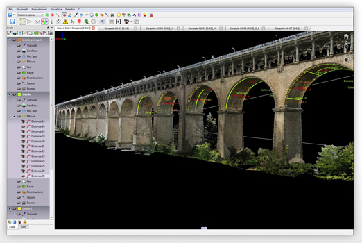
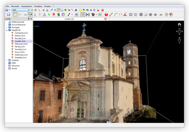
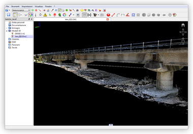
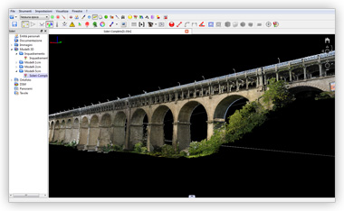
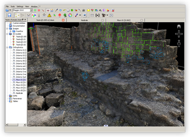
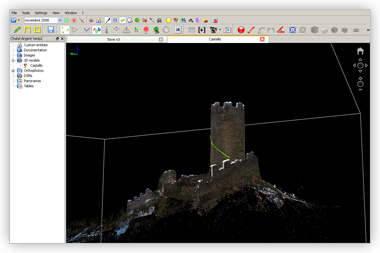
3D modelThe 3D model is useful for an overview of the survey. On the 3D model you can use a variety of measuring tools, and you can view all the measurements taken on other data types, such as solid images or orthophotos. The Ad Hoc graphics engine is able to menage very big and complex 3D models. |
|
|
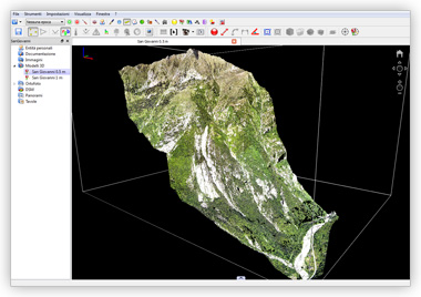
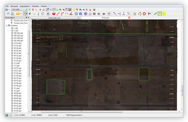
True orthophotoYou need a orthogonal and photographic representation? In which all the parts of the object are projected on the plane properly? There's the true orthophoto. Filters and algorithms give to this highly technical product a high quality aesthetic and photographic. You can calculate areas and volumes, measure points and distances, draw details. |
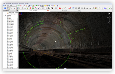
Cylindrical orthophotoThe geometry of a tunnel or a tower requires a special orthogonal representation: not projected on a plane, but on a cylinder or cone. So we created the cylindrical or conical orthophoto. Special algorithms allow you to use the tools of measurement and 3D drawing. |
|
|
Copyright 2011 Ad Hoc 3D Solutions s.r.l. All rights reserved. | Privacy | Cookie policy
Ad Hoc 3D Solutions s.r.l. C.F. P.I.: 01134080074 |
|