

|
Ad Hoc is the software that simplifies the use of data coming from laser scanner and photogrammetric surveys.
|
|
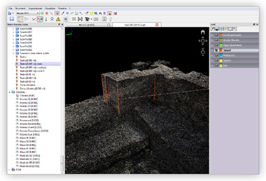
A laser scanner survey has a huge added value if it's able to combine data with other types of investigation. With geophysics, for example, to return the description of "above" and "below" and their mutual relations, with interferometry to properly position the highlighted changes and describe the context in which they occur. Even with the design and 3D rendering, to see together the parts that already exist and those that will be built.

|
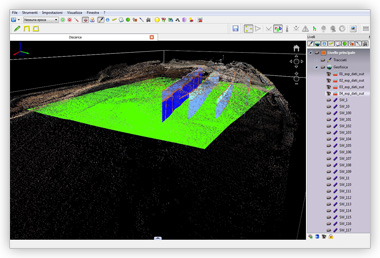
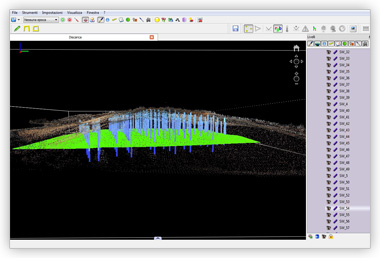
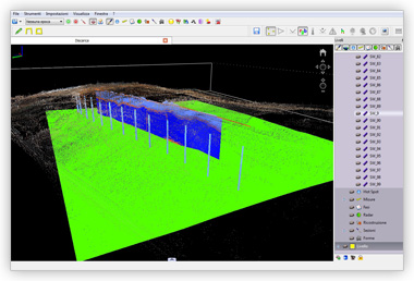
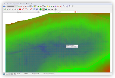
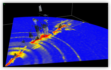
GeophysicsAd Hoc integrates in the 3D model the results of geophysical surveys: vertical sections (radargrams) or horizontal sections (time slices). So you can analyze the "above" and the "below". You can extract continuous sections, compute volumes, accurately assess the location of underground elements. |
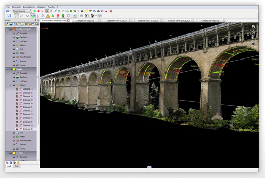
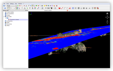
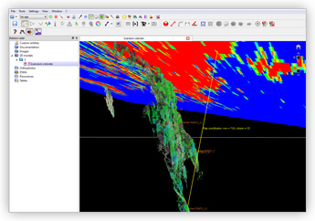
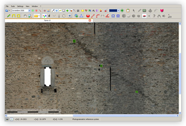
InterferometryAd Hoc allows to rigorously re-project the maps on the 3D surface radars detected. So you have the correct position in 3D of the highlighted changes. |
|
|
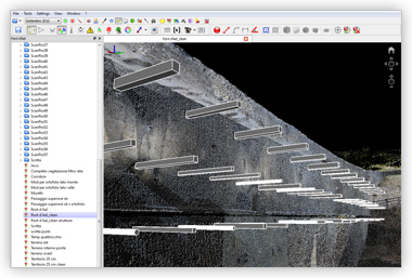
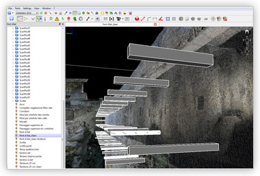
Design - ReconstructionYou can integrate the laser scanner survey with 3D models created with modeling software. So you can see together what there is (laser scanner survey), what there will be (project), or what there was in the past (reconstruction). |
|
Copyright 2011 Ad Hoc 3D Solutions s.r.l. All rights reserved. | Privacy | Cookie policy
Ad Hoc 3D Solutions s.r.l. C.F. P.I.: 01134080074 |
|