


Category: 3D models
Maregot
Seminario tecnico sull’uso di dati territoriali Ad Hoc nell’ambito del progetto Maregot al Parco Nazionale delle 5 terre
Per informazioni:
https://t.me/adhoc3d … seguici sul nostro canale news
#parconazionale5terre #unesco #adhoc3d
Abbiamo reinventato l’ortofoto
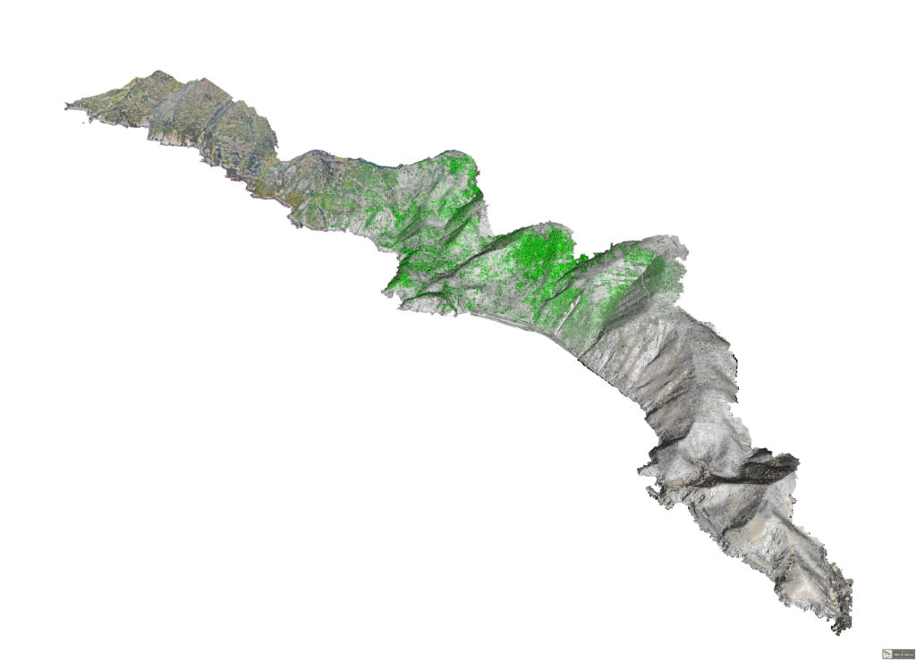
Ad Hoc 3D Solutions has been developing new methods of managing and using point clouds from 15 years.
One of the main strength of our developments was the semantic classification of the point clouds.
Semantic classificated point clouds radically have changed our approach to laser scanner and photogrammetric survey and have led us to develop new ideas.
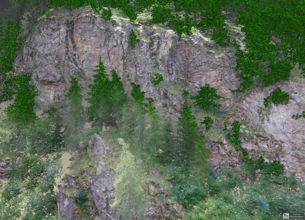
Today we present one of the most interesting and shocking results of this adventure and that concerns the true orthophoto, one of the most classic geomatic outputs.
The true orthophoto is rich in information on clearly visible areas, such as rock walls. Due to the presence of vegetation, however, many areas are obviously not visible.
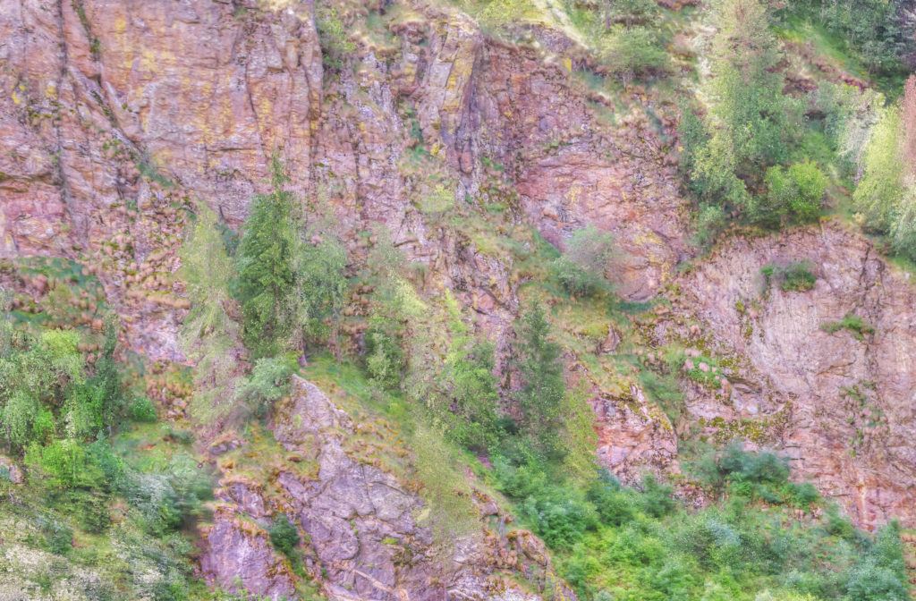
Our recent developments have allowed us to reinvent the orthophotos generation methodology and, starting from the same data set, today everything changes ….
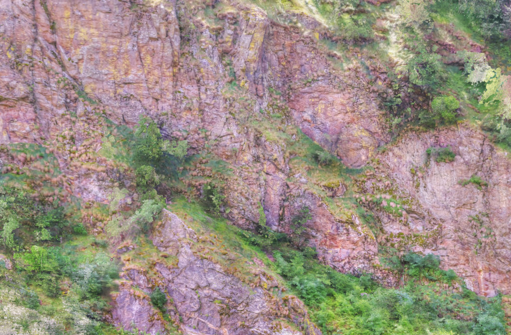
…. we can look beyond vegetation, beyond obstacles, beyond imagination. Orthophotos are now enriched with new information, without any loss of precision or quality …
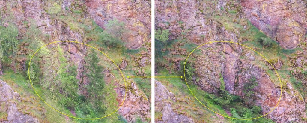
… we have reinvented the true orthophotos !!!
Disgaggio Gola di Frasassi
Esecuzione lavori Disgaggi Frasassi in collaborazione con Eco Geo Engineering srl e Ad Hoc 3D Solutions srl
Ad Hoc VR – the immersive world is coming
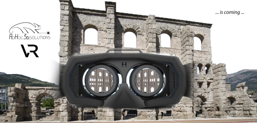
Sei pronto a vivere ed utilizzare i rilievi 3D con una prospettiva tutta nuova? Noi sì …. con Ad Hoc VR . Prova anche tu a stupirti con la nuova interfaccia grafica immersiva…
Are you ready to see our 3D models with a completely new perspective? We are ready… with Ad Hoc VR. Amaze yourself with the new immersive graphic interface …