

Ad Hoc 3D solutions
Not ordinary surveys
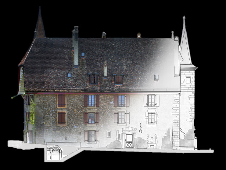
Surveys
Experience, know-how and the best technologies at your service.
We perform topographic, laser scanners and photogrammetrics surveys, we produce orthophotos and drawings and we design GIS and innovative solutions according to your needs
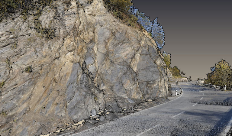
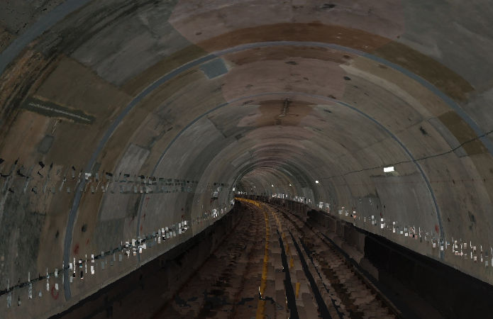
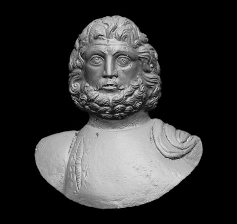
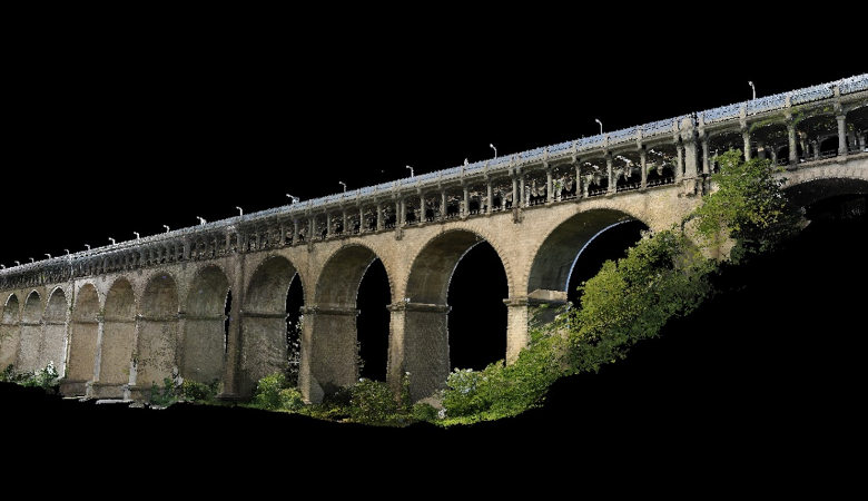
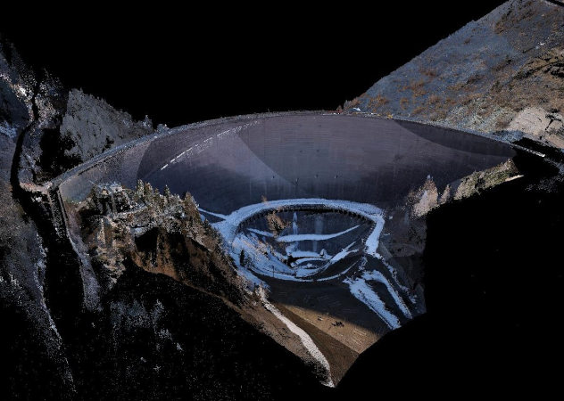
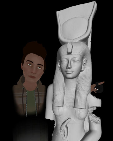
3D models
Digital twin of objects, from small to large ones, by using up-to-date instruments and own-developed algorithms and data-treatment procedures.

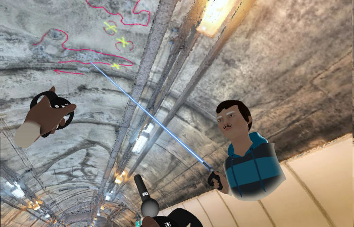
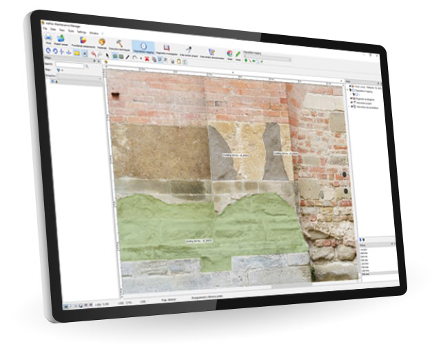
AdHoc Maintenance Manager
The best solution for Maintenance and Restoration
Replace bunches of paper sheets, file folders and documents with a single software that helps you manage and retrieve all the information you may need in time
More about AdHoc MM and our software